Thursday, January 10, 2008

And so the story goes...

As the saying goes, I should've seen it coming :-P. 2008 has been the shakiest start to a year I have had since 2002 (or is it even shakier?). An incident has jolted me back to reality. It is amazing how you always think that you'd be prepared for anything the next time, but nothing really can prepare you for it when it hits you.

But hey, not all is bad. Towards the end of last year, I had the chance to meet with my pretty and my pretty's pretty! They were visiting India on their annual trip with their parents much to my delight.

Boy oh boy have things changed! Rakhi now has the cutest American accent when she talks in English. She can also comfortably talk in Gujarati, Marwadi, and German (learnt from her nanny and her daughter). She can also understand Hindi! At 3years and 3 months, she has accomplished far more things than I have in so many years :-P. The little one Kavya at 1.5 years age can understand Gujarati, Marwadi and German.. (she can't talk much yet) and she likes to eat by herself. Well, to put things in perspective, I still know only 3 languages and my mom had to feed me till I was 21 to get any rice into my body! (Not that I didn't know how to eat by myself, just that I refused to eat rice!.. But still you get the picture!).

Here's what they look like right now! (Don't anyone dare cast an evil eye! :-P. I will personally kick your behind)


It was a fun two days playing with them and my other niece. I watched the two fight and compete with each other for everything right from spoons all the way to their parents' attention. I find myself in the same state with Kavya now as I found myself 2 years ago with Rakhi.. incommunicado. She and I don't share a common language yet. But, once again, I can't wait for the next time I meet her when she would've learnt English!

But you know never guess what the crowning glory of the whole time I spent with them was! It was the 2nd min of my interaction with Rakhi. When I fearfully asked her if she knew who I was. I almost fell off the bed when she came back with a shy, thickly accented "Mxxx mama". This was the first time I have ever had any conversation with her. Last I had known her, we shared no common language for me to communicate to her in!

I hate attachments, and am mostly scared of any of them. Most of them come back to bite me (as was once again proved this year). Maybe I do something wrong all the time. In this particular case, I will probably never understand what I did right.. she actually remembered me! She warmed my heart! It is these small things that happen that give you hope and keeps alive the faith in people. It keeps me going!

Someone said "Life's like that!" :-)

Labels: ,

Sunday, January 07, 2007

Avalanche in Colorado!

My friends GB and JS were travelling to Winter Park and they missed this avalanche by 3 min. GB sure thanks his stars for hitting the snooze button in the morning! A huge avalanche near the Berthoud pass swept cars off the US-40 highway and sent them spinning down the steep slopes almost 300 feet. The avalanche also buried the cars and everything in its path under 15 feet of snow almost.

Everyone associates driving in the mountains and going to the ski resorts through high country and passes with a lot of beauty and thrills. I have always felt nervous especially when driving through one of those passes. These passes usually get a LOT more snow than the rest of the mountain ranges because of the altitude they are in. Throughout the year barring peak summer, these passes always get snow. So, when we hear about the blizzard that hit Denver and neighboring areas which dumped about 3 feet of snow, then you can only imagine how much snow the passes must've got overnight. When one of the ledges of snow near the peaks give way when the sun shines later, its avalanche time!

Don't forget to check out the video footage of the avalanche posted in that article on CNN!

Labels: , ,

Thursday, December 07, 2006

My pretties.

Time sure does fly!
My nieces at Colorado.

Labels: , ,

Tuesday, October 03, 2006

Salsaville featured!

Activecities.com carried a small feature on Eric Freeman (my Salsa guru) and his dance school Salsaville. Pretty cool video! The bunch of people shown dancing are the people who I learnt my Salsa with. Anyone who watches this video will easily be able to appreciate how good Eric is, at teaching Salsa. Kudos!

Click here to watch this small 7 min demo clip on him..
http://activecitiesusa.com/?q=node/69

Sigh.. Nostalgia.

Back to slogging it out for my @!#$!@# exams!

Labels: , ,

Friday, August 18, 2006

My pretty's pretty!

Kavia... born Aug 15th @ 3.59pm. Wish I could've been there!


Previous related post : Farewell, my pretty!

Labels: , ,

Wednesday, August 03, 2005

Santa Fe trip..

New Mexico, the state that lies to the south of Colorado. I've been eyeing it for quite sometime now. Finally got a chance to make a trip down there.. My cousin and her family were making a trip down there and I decided to join them. It was a very short trip.. considering that we left only on Friday evening and we were back on Sunday night. The drive was about 450 miles and would have normally been a 7 hour drive atleast (one way). But, thanks to some expert speed driving for half the distance by one Mr. M (ahem! Me!), we got there in a little over 5 and a half hours. (This inspite of having to make a pit stop for dinner and about 2 ten minute pit stops for my 9 month old niece when she started getting restless in her car seat).
Destination Santa Fe!

The landscape in New Mexico was very similar to the south west Colorado region which I had seen in my trip to Durango & Cortez, just a couple of weeks back. The ground was made mostly of very soft Sand Stone. I guess the same kind of soil must exist in the northern part of Arizona (the adjoining state). Probably why the Colorado River must be able to erode so much to form the Grand Canyons.

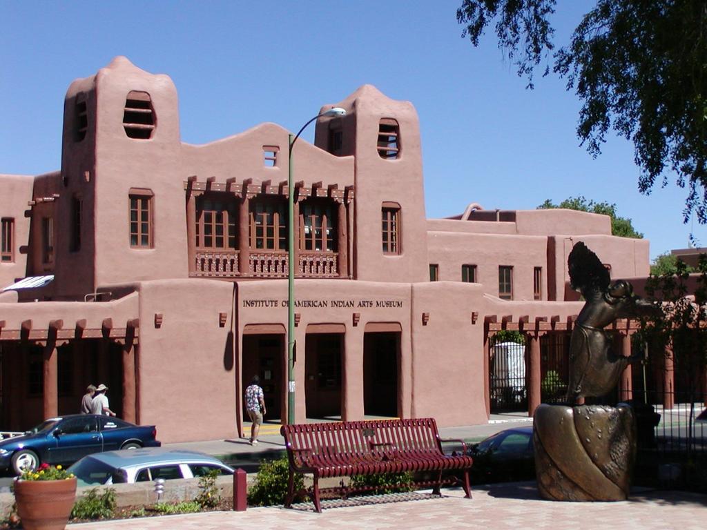
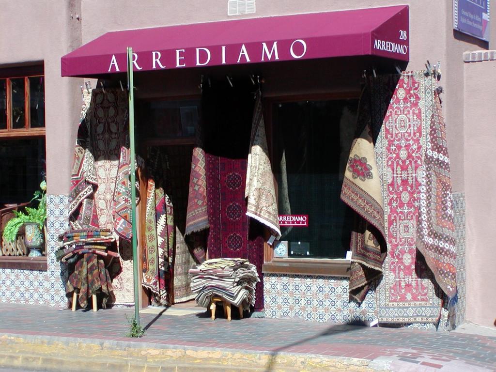
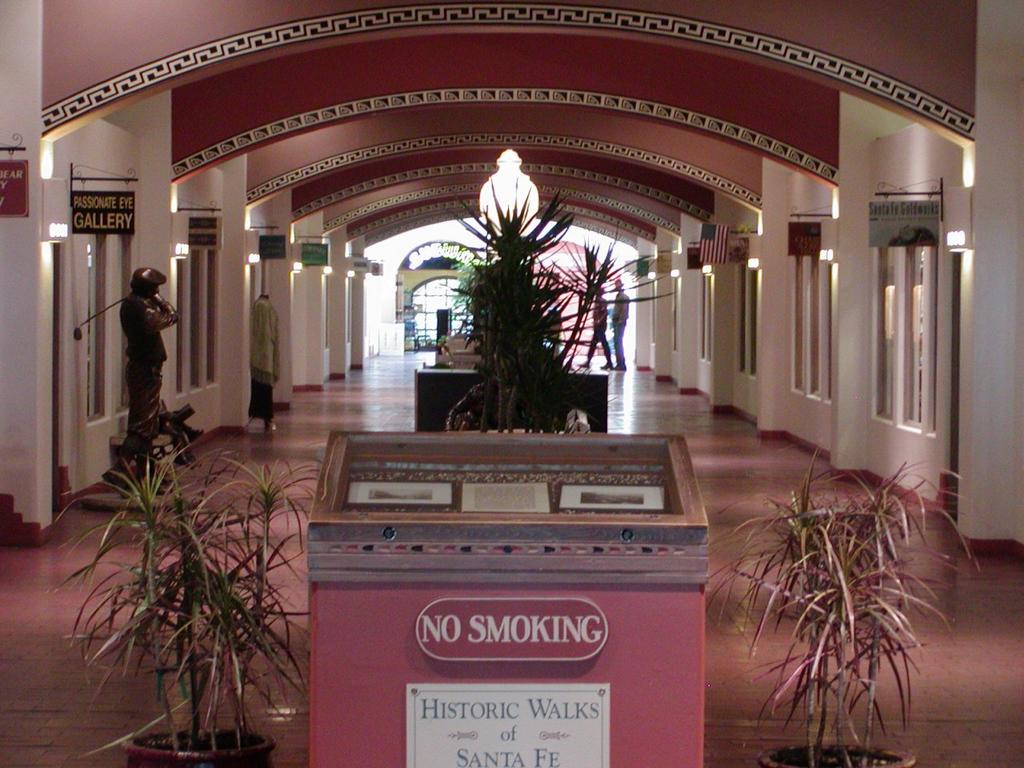
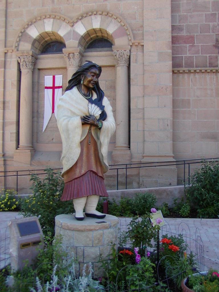
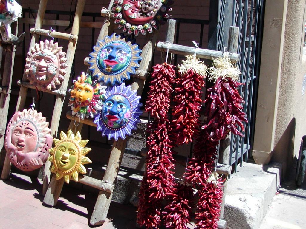
The downtown section of Santa Fe has very different achitectural buildings. There is a very strong mix of Mexican/Native Indian/Spanish influence on the architecture. Very earthern colours.. very earthern architecture. Here are some pics from the trip..


Pictures of the downtown area. A lot of the architecture involves clay and sand.
For some reason, red pepper (chilli to us Indians) is very famous here.. It is displayed all over the place.. Huge garlands of shocking red pepper! Probably one of the staple crop in this part of the country?
Hot sauce may be one of NM's speciality.. But still, calling it Pure Poison??This one's even funnier..
Professor Payne Indeass's
Butt Blazin' Recipe #3
Wimp Retardant
X-Hot Sauce.

LOL!
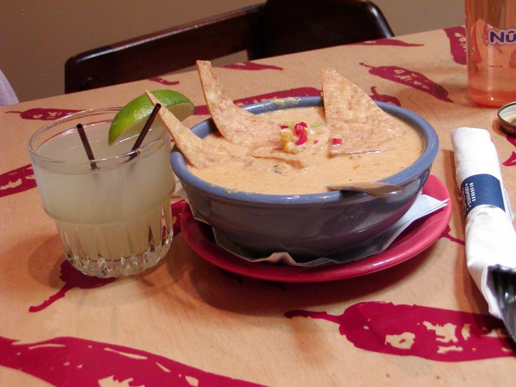
Santa Fe had the best Mexican food I've tasted so far. New Mexico in general is supposed to have authentic Mexican food, and in proportionate quantities.. (unlike their Americanized versions). This particular corn soup is THE best soup I've ever tasted in my life.

Labels: , , ,

Monday, July 25, 2005

Mark Knopfler at the Red Rock Amphitheatre...

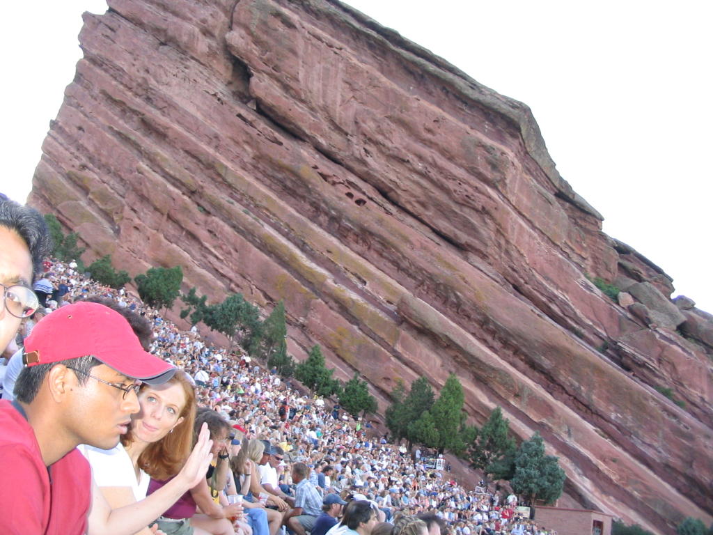
Mark Knopfler framed against the glowering red rocks..


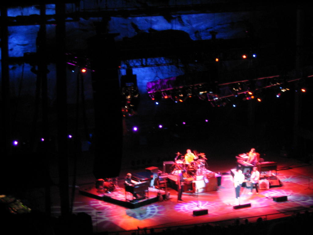
Throw in a good musician and a good concert arena together and the audience will usually have a good time. When the musician happens to be Mark Knopfler, and the arena happens to be the Red Rocks Amphitheatre.. we're talking only in superlatives here. It was MIND BLOWING! Mark Knopfler was GOD on his guitar, and the Red Rock Amphitheatre was heaven last Tuesday! This is one of the best concerts I've been to in my life.. and I should say it was totally worth the 80 bucks spent on it.

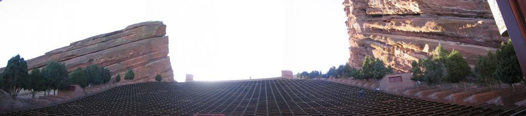
This is probably a good opportunity for me to talk a bit about the Red Rocks Amphitheatre. It is one of the most famous concert arenas in the world. It is unique in that it is an accoustically perfect, naturally formed amphitheatre up in the Rocky Mountains. The stage is set in a gorge. The audience are seated on the sides of a mountain looking down into the gorge. There are two gigantic walls of streaked red rocks on either side of the amphitheater which act as perfect accoustic reflecters enriching the audience to the sound coming from the gorge. The high rise buildings of Denver provide the back drop when you look far beyond the mountains into the plains. A perfect setting for a superb concert.

Here are a few pictures from one of my previous visits to this place.. and some from the concert itself.


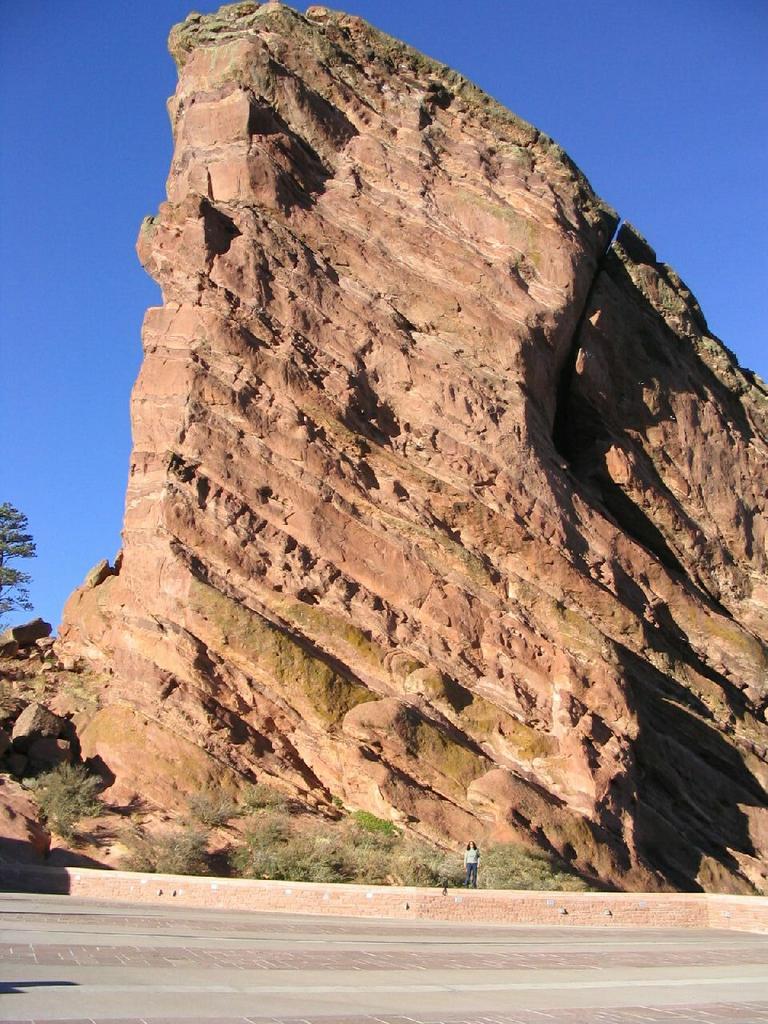
This is the way to the North East parking lot of the Arena.. through the rock.
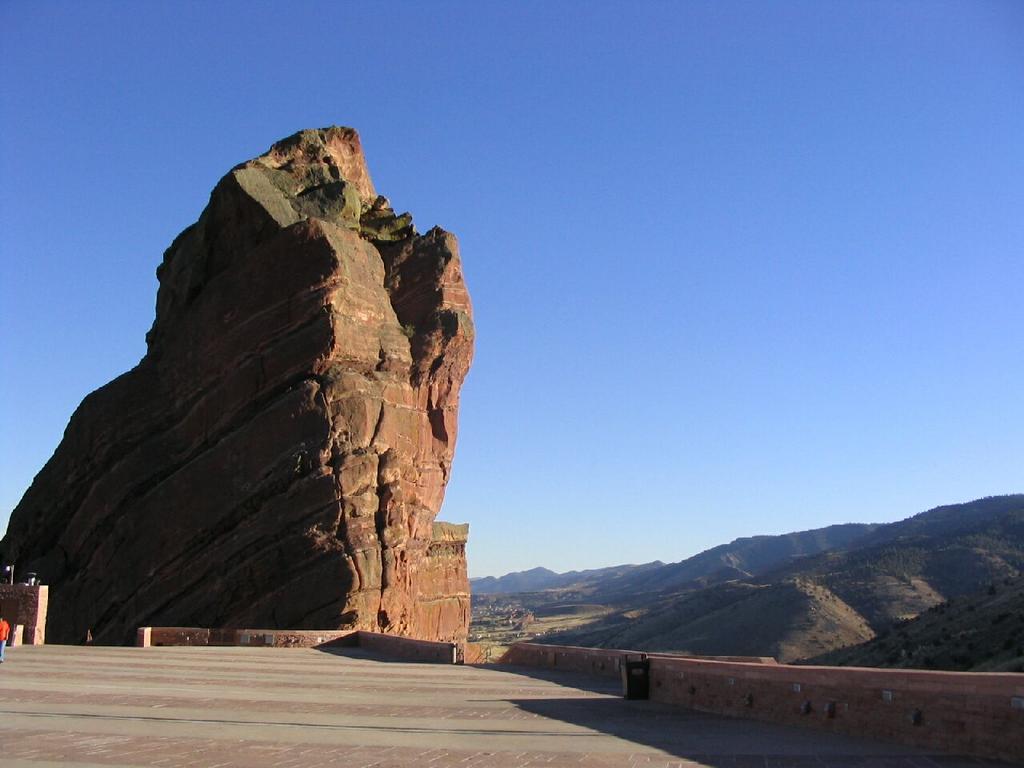
The gigantic left and right walls of the concert arena. Two huge slabs of red rocks which give the arena its perfect accoustics.
At the concert..
A view of the arena from the stage..

Labels: , , , ,

Wednesday, June 22, 2005

Visit to Gunnison, Telluride and Mesa Verde National Park (Cortez)

People have long told me that the South West Colorado is the most beautiful part of Colorado. I had the chance to make a trip down there a few weeks back with a bunch of friends. We drove the entire San Juan sky way (a.k.a. the Million Dollar Highway). I don't think I'll ever be able to do justice to its beauty by describing it. I don't think any number of superlatives or pictures are capable of bringing out the beauty of that region. I am putting up only a few pictures, though there are many really good pics from this trip, to keep the size of the post down.

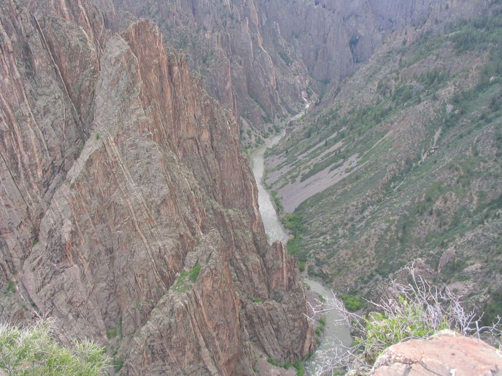
Day 1: The Black Canyons of Gunnison..
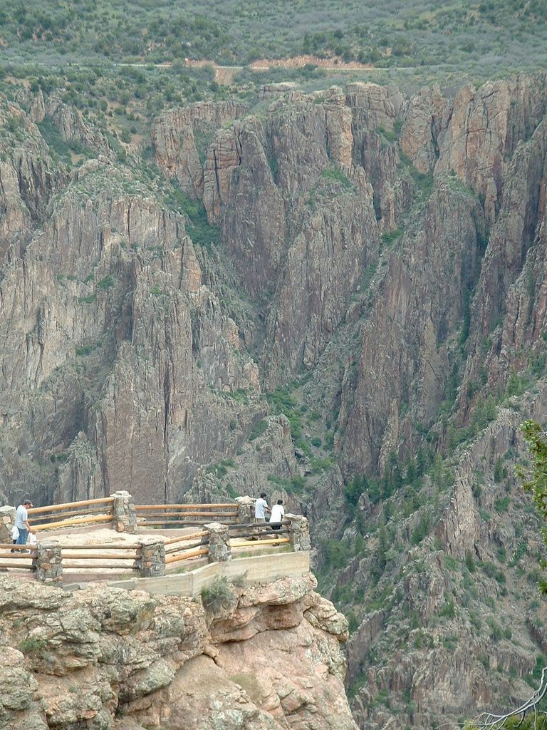
Mesas of the Black Canyon.View of the Colorado River at the bottom of the canyon.
View point at the top of the canyon. The Black Canyon is the second narrowest in the United States. It is 2000 feet deep but only 45 feet wide at its narrowest point.

Day 1: Telluride
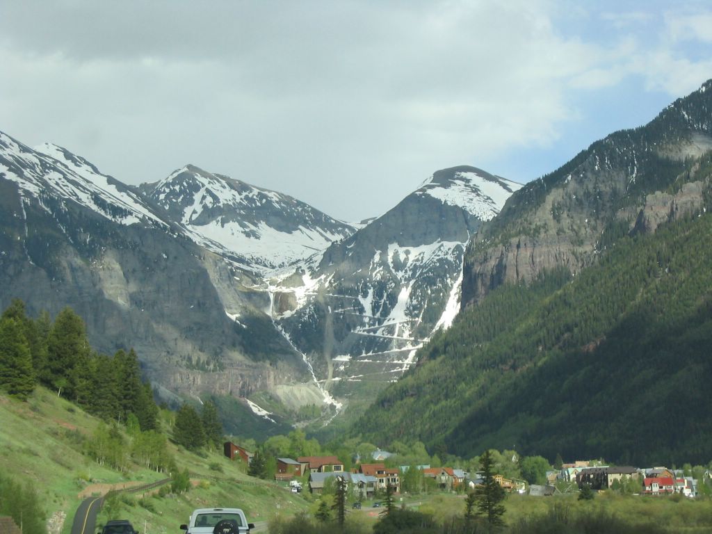
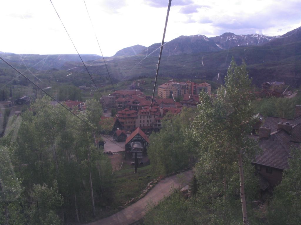
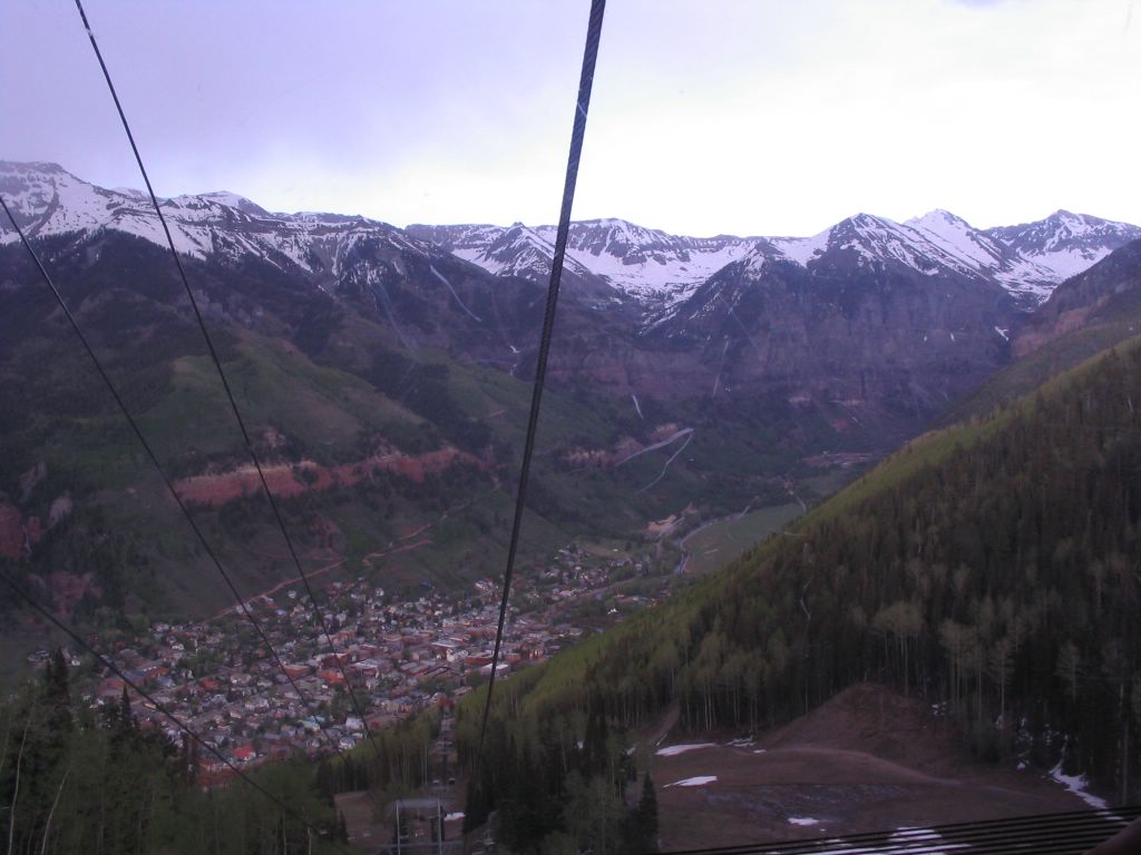
Approaching Telluride. Thats the Black Bear Pass! That zig zag line leading to the top is the approach to the pass. For expert drivers with 4 Wheel Drives only!On the Gondola ride from Telluride to the Mountain Village above Telluride.
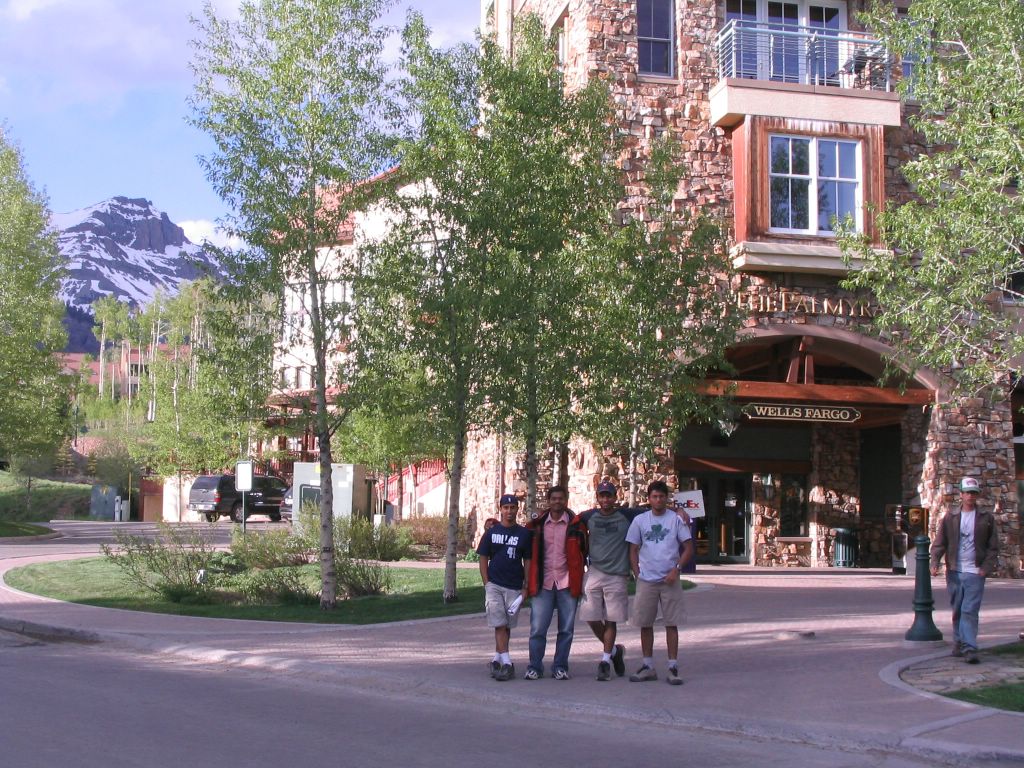
At the Mountain Village..Now why wouldn't anyone love to stay here?
Native Indian statue at the Mountain Village..Ride down to Telluride.
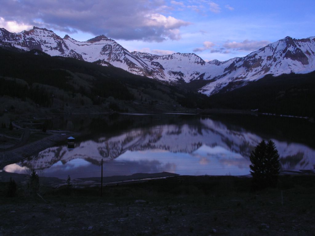
Sunset near Telluride..

Day 2: Mesa Verde National Park

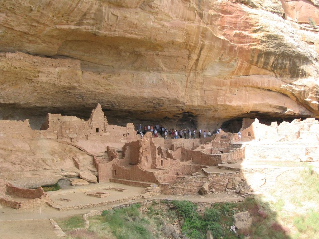
Cliff dwellings at Mesa Verde.Age old ruins set on the sand stone settings. 
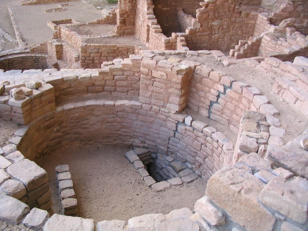
Wow.. this was actually where the Mesa Verde people got together. Some sort of a community room.. 5 people today's size couldn't fit in there.. The Mesa Verdians actually cliimbed the sheer rock walls with toe and finger holes. 
Panoramic shot of the Cliff Palace ruins


On Day 3, we visited Pagosa Springs. There were 21 different pools of water fed from hot water sulphur springs just alongside a river.. Each was maintained at a different temperature by mixing some of the river water into it. Unfortunately, I didn't get any pictures of that place. But, well, I did get to experience of staying immersed in each one of those. Sigh.. the lifestyles of the rich and the famous! I hear that Ouray has hot-water springs too. We just drove through Ouray this time.. Imagine lazing in a hot-water spring pool and enjoying a 360 degree view of snow-capped mountains! Thats for another time I guess!

Labels: , , ,

Thursday, May 26, 2005

Hike to Emerald Lake

I have never done a major hike to the high country. This is sort of a sin considering the fact that I live in Colorado and the people here are as outdoors as it can ever get. I guess, some of that has finally started rubbing off onto me. I had often wondered why people would ever strain themselves so much. A hike in the mountains to me just sounded like an extravagant walk in the park. But after my climb to the top of the dunes two weeks back, I have come to the conclusion that just the view from the top is TOTALLY worth the climb.. And well, if I do lose a few pounds in the process, I'm not complaining :-).
The 2 hour climb to the top of the dunes gave me new confidence and enthusiasm to try out some more. Last weekend, I had gone with a few friends to this small place called Boulder Falls.. which is about a half hour drive from where I live in Boulder. Suddenly, on an adrenalin high, we decided to climb the rocks on the side of the falls, to get to the top. It took us just about 20 min to get to the top, and the climb would have probably qualified as a easy/low moderate difficulty climb. But the feeling again of being at the top was inspiring.
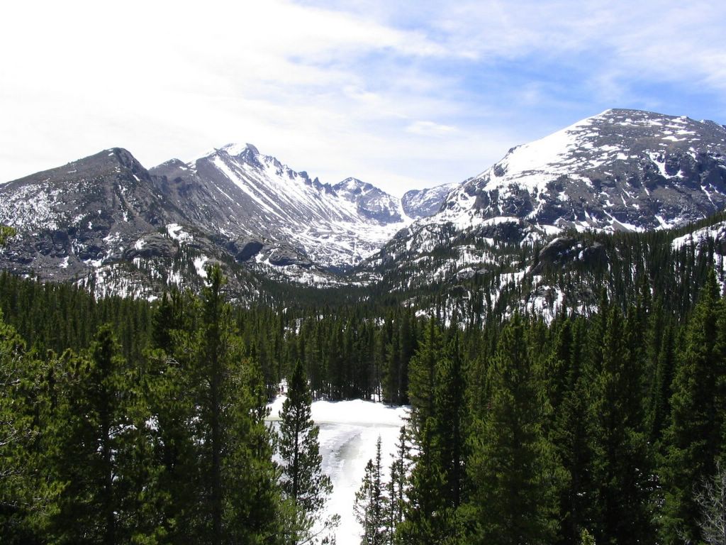
Sometime during the last week, I remembered that when I had gone for a walk around Bear Lake (which was frozen) last December, I had seen a map indicating a hike to the top of the continental divide. I thought well, it would be cool to get to the top of the continental divide and take a picture of the view from there especially since the snow had started to recede just to the caps of the mountains. A bunch of my friends were also interested in this hike. This hike to the top is supposed to be a 4.4 mile hike from the Lake, with an elevation change of 2,849 Ft. Final elevation is about 12,324 ft.
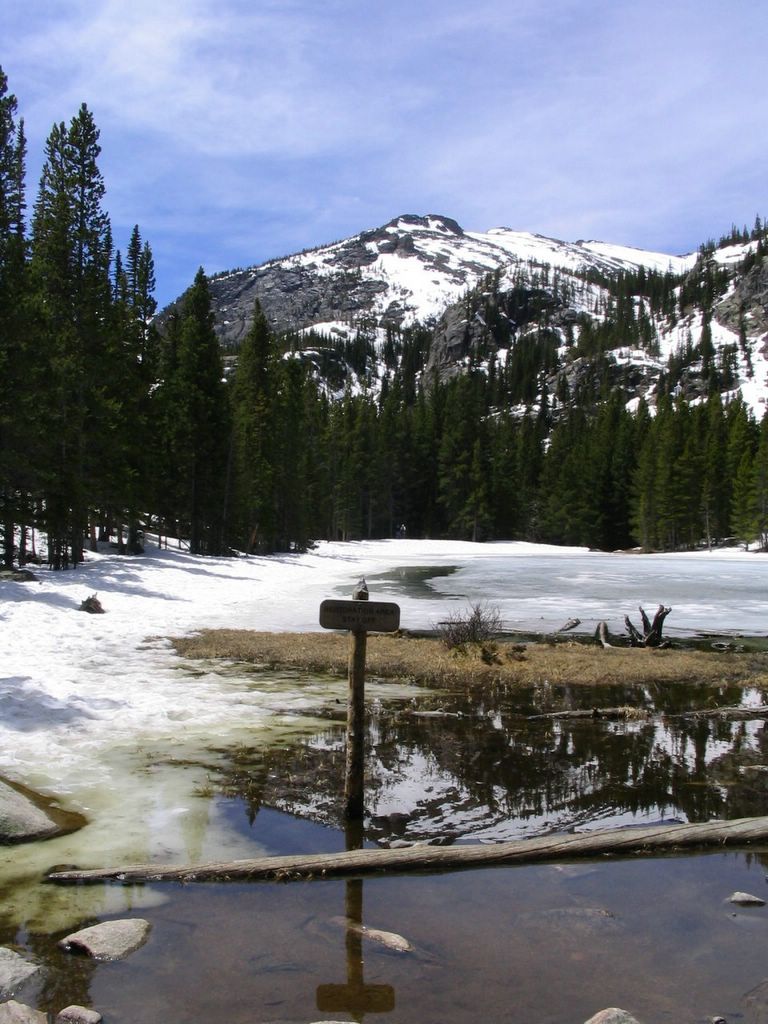
Unfortunately for us, this trail was still caked in snow and ice near the top. So, we decided to hike up from Bear Lake to Emerald Lake instead. The hike to Emerald Lake is about 1.8 miles with an elevation change of 685 ft. Final elevation is about 10,080 ft.
Today, I gladly say that I'm thankful for not attempting to do the hike to the Continental Divide. The hike to Emerald Lake was a good learning experience since there was still a lot of snow around and in a lot of places, we found ourself wading in knee deep snow. The entire hike to Emerald Lake and back took us about 5 and a half hours and we were BUSHED. It hit us hard that the air is much thinner up there than we'd expected. We consumed more water than we thought we would. There were many points at which we thought we'd turn back, but thankfully other hikers who were returning from Emerald Lake encouraged us to keep going.
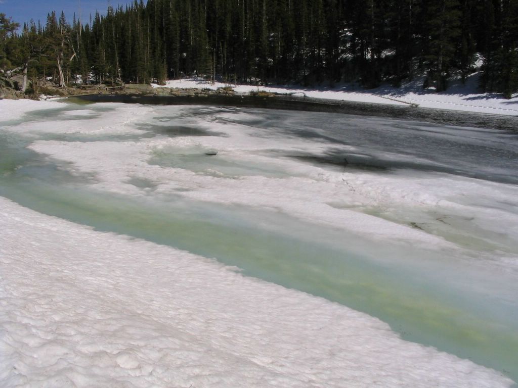
The hike to Emerald Lake took us past two other lake.. Nymph Lake and Dream Lake. Both were at different stages of their melting cycle according to their elevation.
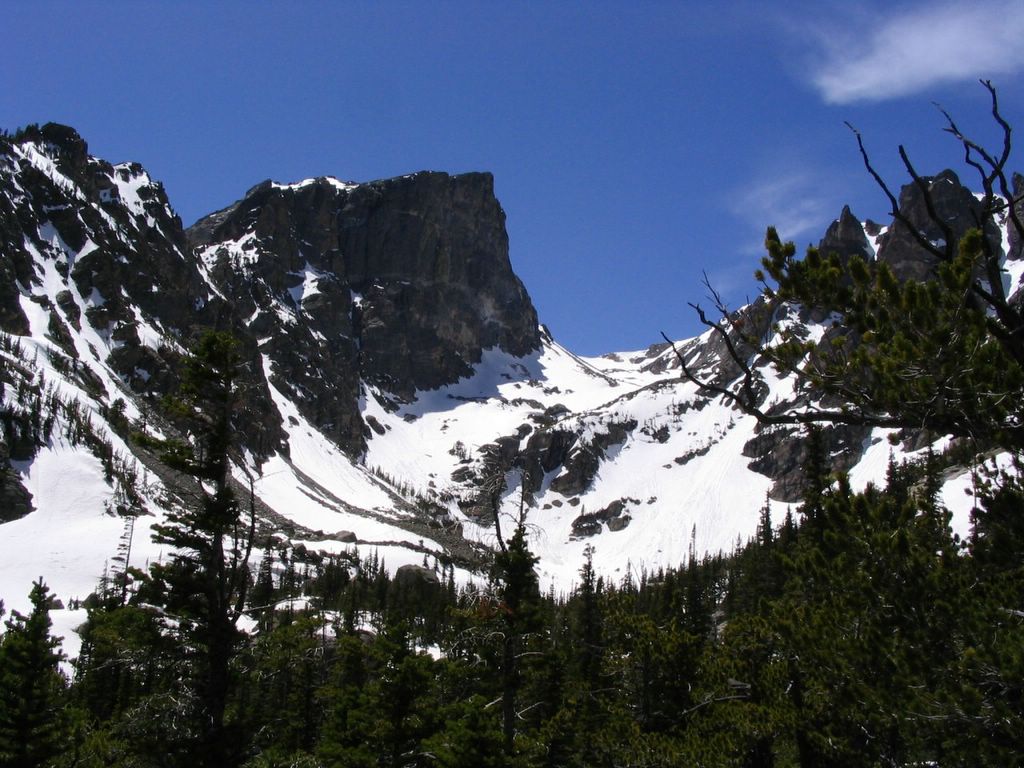
A few pictures from the hike..
Starting out from Bear Lake.. Green trees and white snow, a beautiful combination in spring. 
Nymph Lake, about 0.5 miles into the hike. 
Pristine waters of the lake.. I liked this particular view because of the reflection. 
Me wondering when the heck the rest of the guys were going to get up from their break.. 
Zoomed in view of the snow above the treeline from just above Nymph Lake.. 
A little zoomed out view of the same. You can see Nymph lake below. 
View from Dream Lake.. 
Dream lake had also started to melt.. 
View from somewhere above Emerald Lake.. We were lost at this point.. 
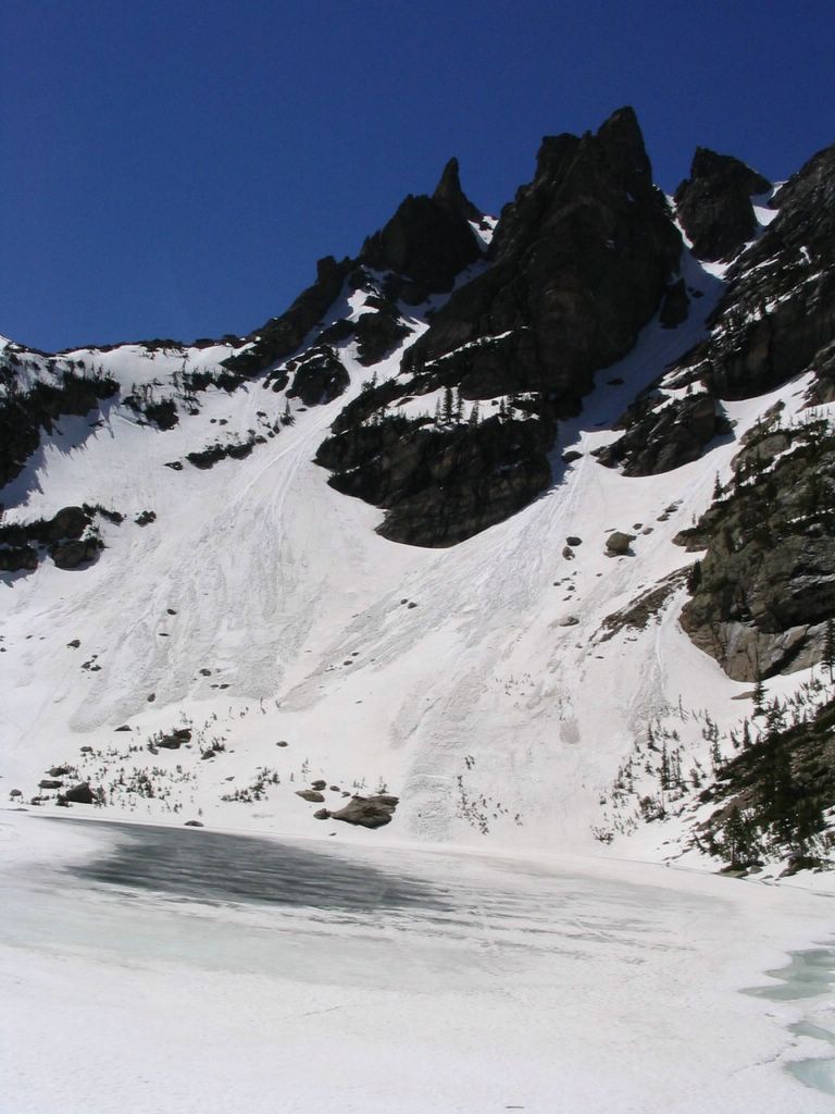
Emerald Lake, still almost completely frozen. 
Thats the continental divide towering about 2000ft above Emerald Lake..  
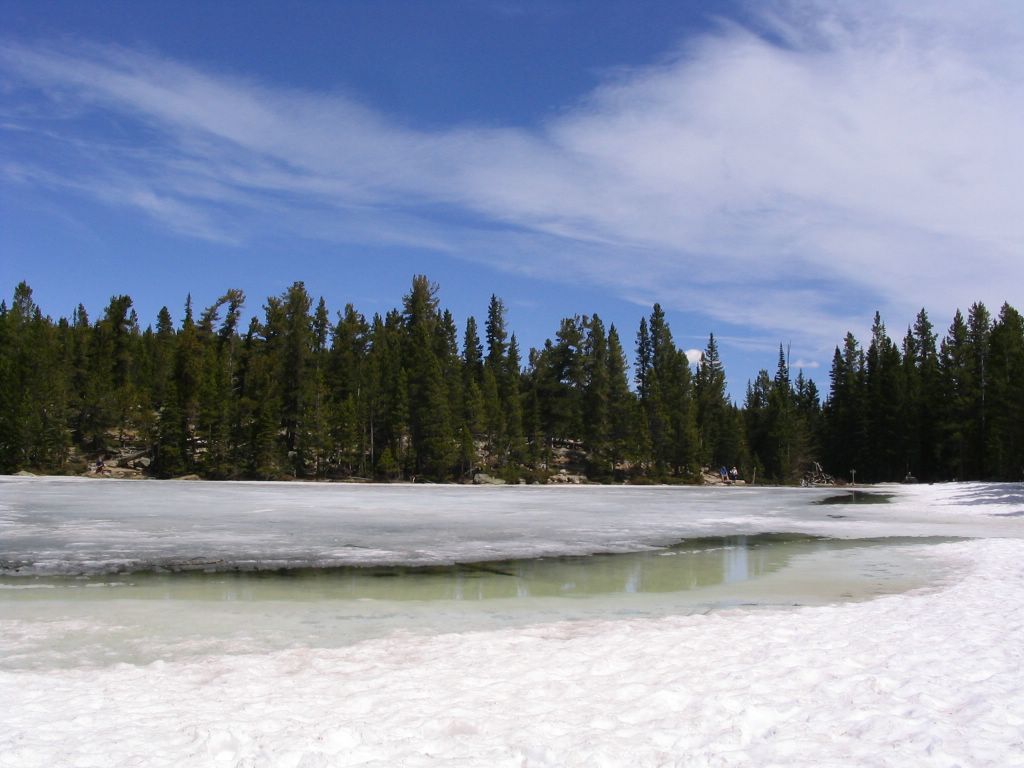
If we'd been more experienced hikers/climbers, we could've probably made it up to the top.. but right now, we were just content to get some rest. 

If you look carefully into the last few pics, you might actually spot some feet tracks leading up to the top of the continental divide directly above Emerald Lake. Someone had actually hiked 2000ft up those nearly vertical slopes and skied back down to the lake.
We were too tired on our way back to shoot any more pictures. Again, we hadn't rationed out our water very well, so we just concentrated on getting back to BearLake in one piece.
Hopefully I will get fit enough to actually make it up to the continental divide in the near future :-).

p.s. I don't know how to get rid of the yawning gap in this post, just before the pics. Still trying to figure out where it came from. My HTML is still quite rusty..

p.p.s. FINALLY! Figured it out! (21st June, 2005)

Labels: , , ,

Thursday, May 12, 2005

Trip to the Sand Dunes National Park

Its spring and the temperature has been awesome. So a couple of friends and I decided to go on short trip somewhere in Colorado. One of my friends had described the sand dunes of Colorado to me when I first moved here. It has been on my list of "places to be visited" since then. Sometime last week, we decided to make a trip there.

Trivia
The area was previously a state park and just recently it was changed to a national park. For those who visit a lot of national parks, this is a blessing in disguise. Your 50$ annual National Park Pass can get you (one car) in without having to pay anything.

History behind the sand dunes
Most people's first reaction on seeing the dunes is "What the??? How the heck did desert sand make it all the way to 8000feet above sealevel. How is it that there's this type of topography right next to snow covered mountains?". Or something to that effect :-)! Probably the only place where you'll find the two contrasting geographical features right next to each other.
The following is an excerpt from an article on classbrain.com by Sarah Lane.
"Tucked against the Sangre de Cristo Mountains in south-central Colorado, the San Luis Valley is home to the tallest sand dunes in North America. Reaching heights of over 700 ft., the Great Sand Dunes National Monument and Preserve is constantly being restructured by the southwest winds that blow across the valley. The massive dunes hide a complicated system of wind, erosion, and sand deposition. For several thousand years westerly winds have traveled over the Rockies and down over the river flood plain, picking up sand particles from the valley and the Rio Grande River. The winds then deposit the finely-ground pumice, ash, quartz, and lava at the eastern edge of the valley before it rises to cross the Sangre de Cristo mountains. The process continues and the seemingly tiny sand particles group together to form the continuously changing dunes.
Aside from the attributes already mentioned, this park also contains the largest known stand in the United States of ponderosa pine trees bearing ancient tribal markings. Another amazing feature of the Great Sand Dunes is Medano Creek. This crazy stream starts in the Sangre de Cristo mountains, flows along the eastern edge of the dunes, and periodically disappears below ground in the valley. You can be standing in a fast-moving current measuring over a foot deep and then suddenly the water will stop and flow several meters away instead."

The trip

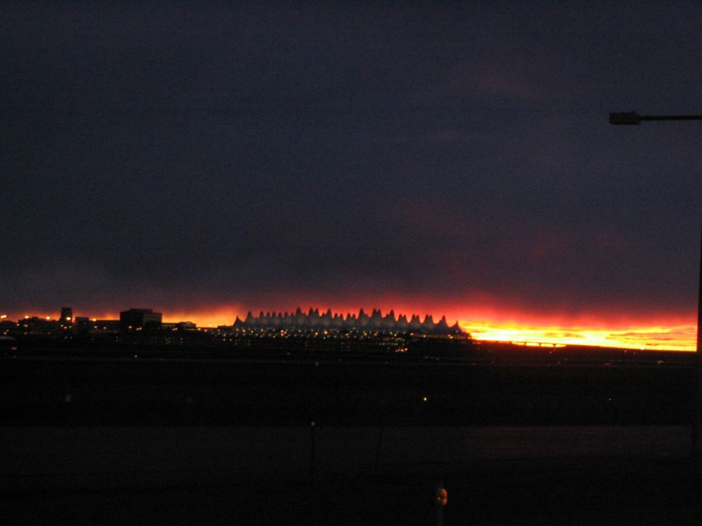
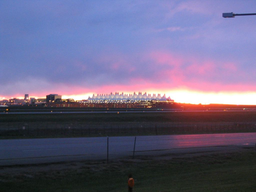
It was to be a 4-5 drive from Boulder to the sand dunes. We wanted to be at the park by about 10.00am. The official website recommends a 4-wheel drive vehicle for those who want to drive the single lane sand track between the dunes and the mountains. So, we made a rental reservation for an SUV. We went to the Denver International Airport to pick up the SUV at about 5.30am. This is probably the first time I've woken up early enough to see a full blooded sunrise out in the open here in Colorado. I've always headed straight into the mountains while skiing and so was driving away from the Sunrise. The sight was breath-taking. And I was lucky to have caught this particular scene.


The lighting across the plains changed so rapidly. Here's another picture taken about 30 seconds later.


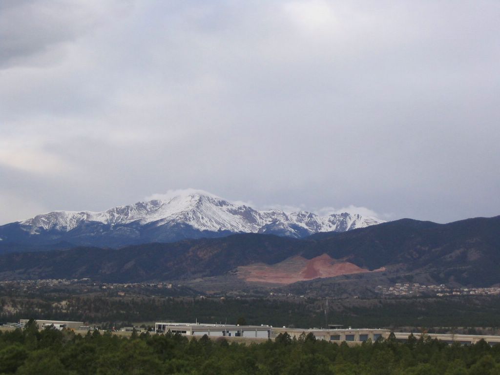
We drove past Colorado Springs. Pikes Peak is the 14K+ moutain right next to Springs. Here's a picture of Pikes Peak.


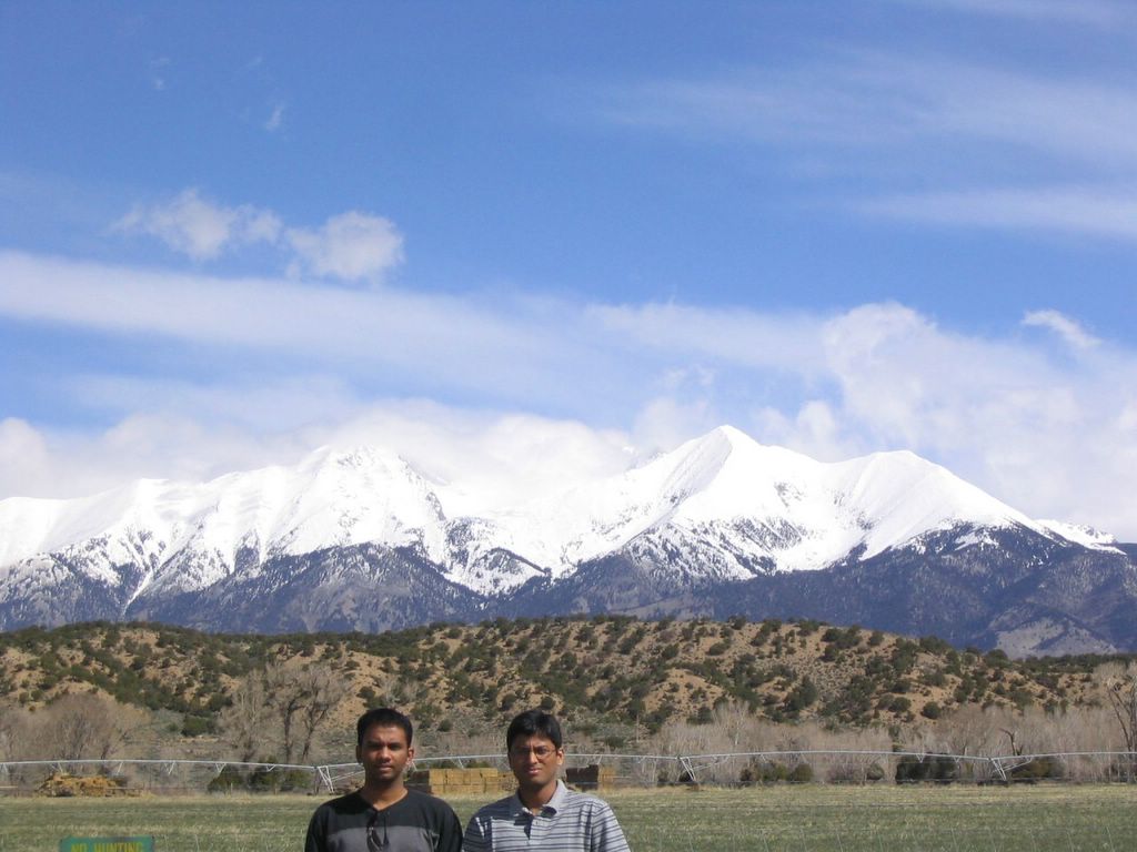
Another snow capped peak on the way to the sand dunes. This is what I like best about spring. You have green everywhere on the plains and only the peaks are covered in snow. Its a nice feeling to be able to appreciate snow without feeling cold.


On the southern side of the Sangre de Cristo mountains. The dunes were on the other side of this range.


We drove around the range and here's a first view of the dunes..


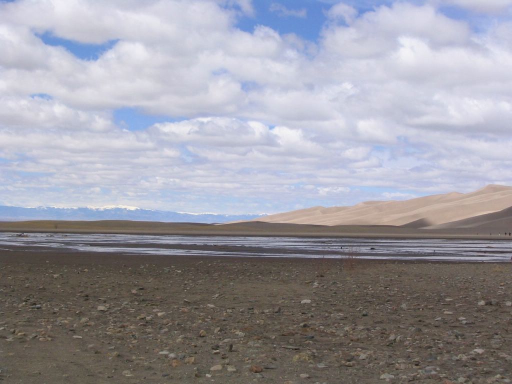
View of the sand dunes from across the Rio Grande river. Notice the miniscule human beings down at the bottom of the dunes..


San Luis Mountains across the valley.


The Rio Grande river bed..the sand dunes meet the mountains.


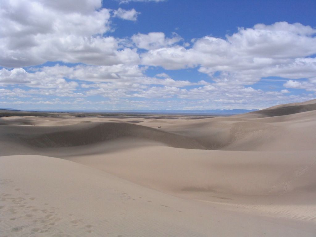
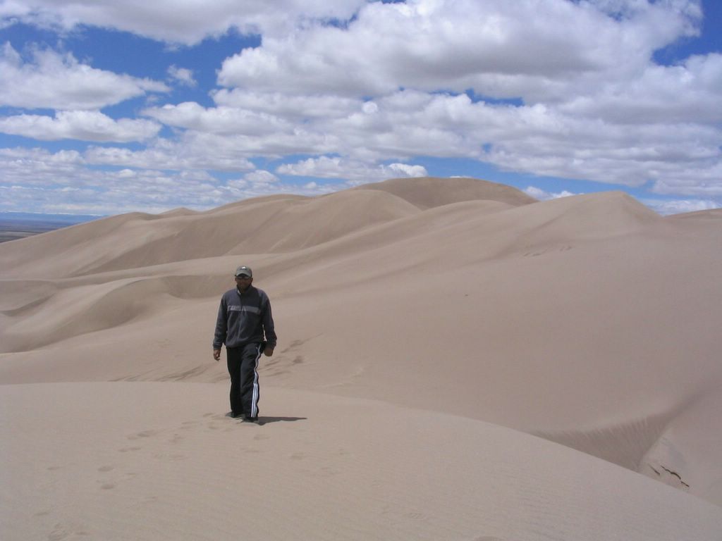
Miles and miles of sand..


On my hike to the top.


Getting sandblasted on the top. The wind was extremely strong.


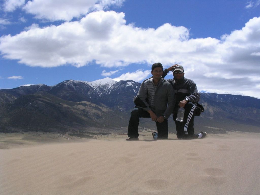
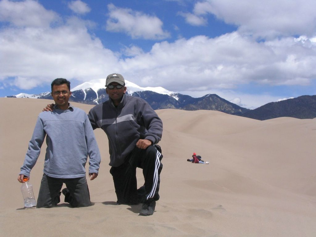
On the top, with the mountains in the back ground.


Me on one of the dunes..


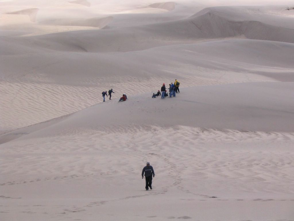
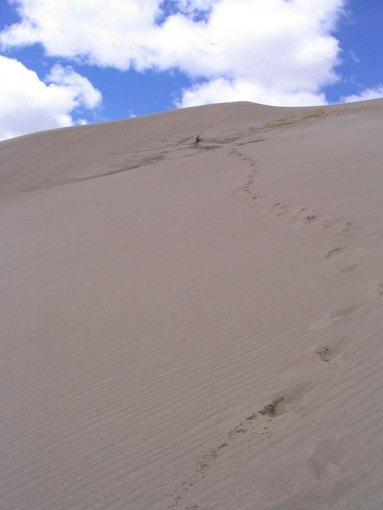
Steep climb back down. Considering the great slopes out there in the dunes, sledding should be a fun thing to try out there. I made a mental note to myself to take a sled next time I go out there.


View from the base of the mountains.


Panoramic view of the sand dunes framed against the Sangre de Cristo mountains.

Labels: , , ,